



Accepted Waste Streams
- Produced Water
- Flowback
- Containment Water
- Rain Water
- RCRA Exempt Waste
Driving Directions
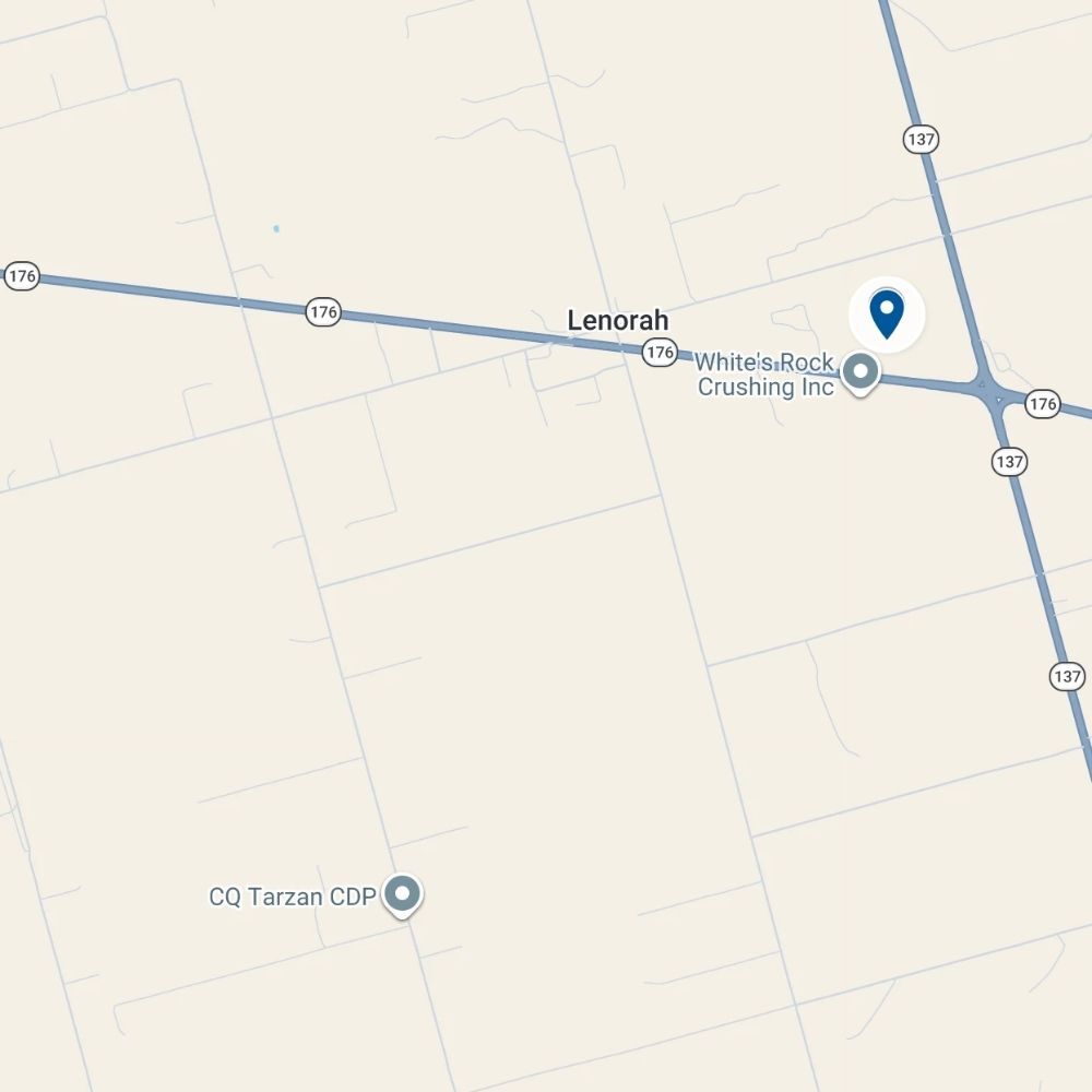
Map data ©2026 Google
GPS Coordinates
32.303604, -101.863120
If you are on Interstate 20 in Stanton, take the Highway TX-137 exit north towards Lamesa. Continue on TX-137 for approximately 12.5 miles. The destination will be on your left, just south of Lenorah.
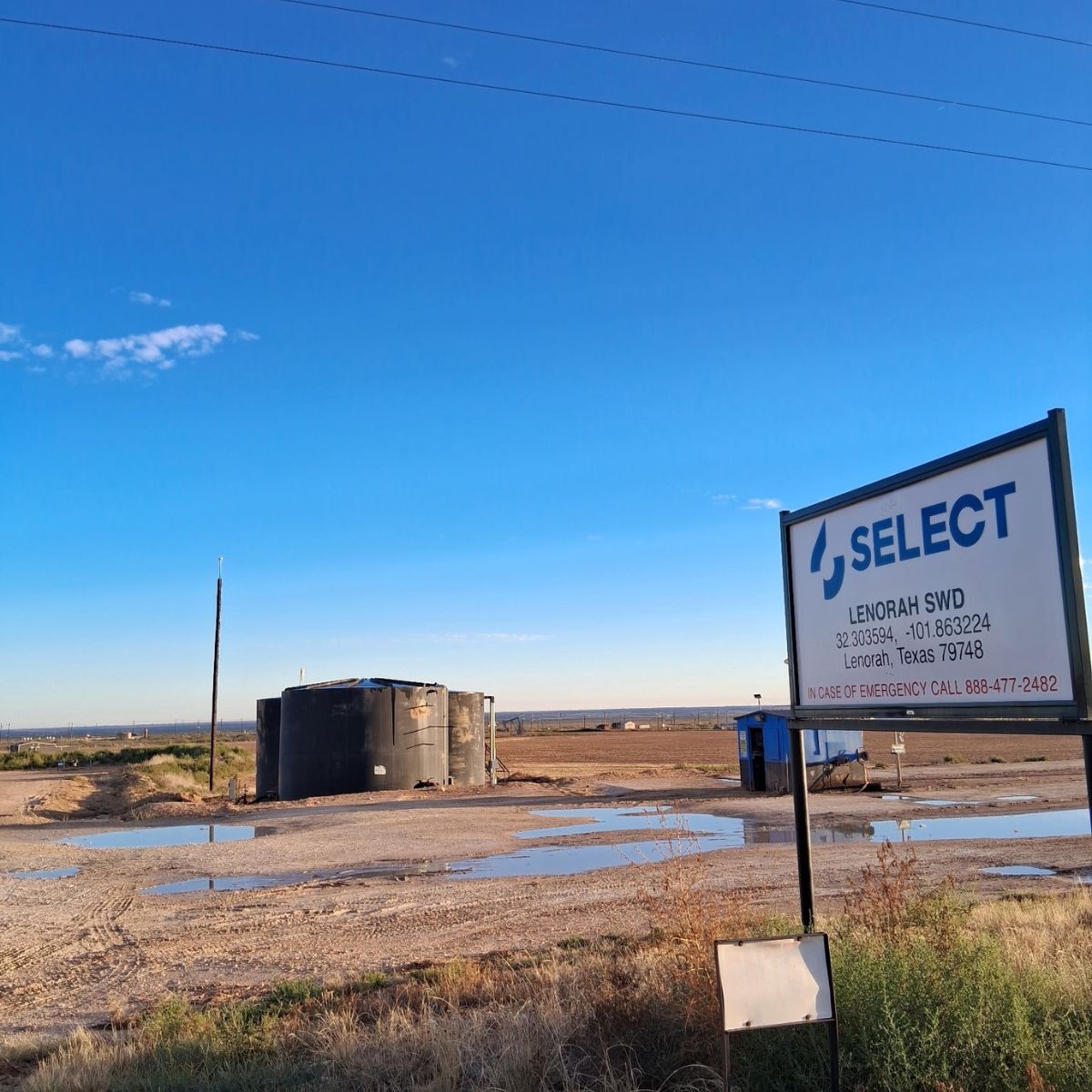
Pipeline Connections Available
Along with truck offload, Lenorah SWD can take water by pipeline. Tell us about your volumes and timeline, and our business development team will follow up.
Nearby Disposal Sites
Distances are straight-line and approximate. Drive times will vary.
Report an Issue with This Page
Wrong directions, a moved gate, or something else out of date? Let us know and we'll fix it.